
Canada
Robert Burns Memorial, Stanley Park
Memorial · Vancouver
Urban park

Stanley Park is a 405-hectare (1,001-acre) public park in British Columbia, Canada, that makes up the northwestern half of Vancouver's Downtown peninsula, surrounded by waters of Burrard Inlet and English Bay The park borders the neighbourhoods of West End and Coal Harbour to its southeast, and is connected to the North Shore via the Lions Gate Bridge. The historic lighthouse on Brockton Point marks the park's easternmost point. While it is not the largest urban park, Stanley Park is about one-fifth larger than New York City's 340-hectare (840-acre) Central Park and almost half the size of London's 960-hectare (2,360-acre) Richmond Park. Stanley Park has a long history. The land was originally used by Indigenous peoples for thousands of years before British Columbia was colonized by the British during the 1858 Fraser Canyon Gold Rush and was one of the first areas to be explored in the city. For many years after colonization, the future park, with its abundant resources, would also be home to non-Indigenous settlers. The land was later turned into Vancouver's first park when the city incorporated in 1886. It was named after Lord Stanley 16th Earl of Derby, a British politician who had...
Archaeological evidence suggests a human presence in the park dating back more than 3,000 years. The area is the traditional territory of multiple coastal Indigenous peoples. From the Burrard Inlet and Howe Sound regions, Squamish Nation had a large village in the park. From the lower Fraser River area, Musqueam Nation used its natural resources.
Where Lumberman's Arch is now, there once was a large village called W hoi Whoi, or X̱wáýx̱way, roughly meaning 'place of masks'. One longhouse, built from cedar poles and slabs, was measured at 61 metres (200 ft) long by 18 metres (60 ft) wide. These houses were occupied by large extended families living in different quadrants of the house. The larger houses were used for ceremonial potlatches where a host would invite guests to witness and participate in ceremonies and the giving away of property.
Another settlement was further west along the same shore. This place was called Chaythoos, meaning 'high bank'. The site of Chaythoos is noted on a brass plaque placed on the lowlands east of Prospect Point commemorating the park's centennial.
Both sites were occupied in 1888, when some residents were forcefully removed to allow a road to be constructed around the park, and their midden was used for construction material.

The popular landmark Siwash Rock, located near present-day Third Beach, was once called Slhx̱i7lsh, meaning 'he is standing up'. In the oral history, a fisherman was transformed into this rock by three powerful brothers as punishment for his immorality.
In 2010, the chief of the Squamish Nation proposed renaming Stanley Park as Xwayxway Park after the large village once located in the area.
- Further information: George Vancouver § The Vancouver Expedition
The first European explorations of the peninsula were made by expeditions commanded by Spanish captain José María Narváez (1791) and British captain George Vancouver (1792).
In A Voyage of Discovery, Vancouver describes the area as "an island... with a smaller island Deadman's Island (the correct name being Deadman Island) lying before it", suggesting that it was originally surrounded by water, at least at high tide.

Vancouver also wrote about meeting the people living there:
Here we were met by about fifty [natives] in canoes, who conducted themselves with great decorum and civility, presenting us with several fish cooked and undressed of a sort resembling smelt. These good people, finding we were inclined to make some return for their hospitality, showed much understanding in preferring iron to copper.
According to historians, [ who? ] the Indigenous peoples probably first saw Vancouver's ship from Chaythoos, a location in the future park that in today's terms lay just east of the Lions Gate Bridge (or First Narrows Bridge as it is sometimes called). Speaking about this event later in a conversation with archivist Major Matthews, Andy Paull, whose family lived in the area, confirms the account given by Vancouver:
- As Vancouver came through the First Narrows, the [natives] in their canoes threw these feathers in great handfuls before him. They would of course rise in the air, drift along, and fall to the surface of the water, where they would rest for quite a time. It must have been a pretty scene, and duly impressed Captain Vancouver, for he speaks most highly of the reception he was accorded.
No significant contact with inhabitants in the area was recorded for decades, until around the time of the Crimean War (1853–1856). British admirals arranged with Chief Joe Capilano that if there were an invasion, the British would defend the south shore of Burrard Inlet and the Squamish would defend the north. The British gave him and his men 60 muskets. Although the attack anticipated by the British never came, the guns were used by the Squamish to repel an attack by an indigenous raid from the Euclataws. Stanley Park was not attacked, but this was when it started to be thought of as a strategic military position.
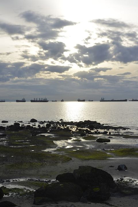
The peninsula was a popular place for gathering traditional food and materials in the 1800s, but it started to see even more activity after the Fraser Canyon Gold Rush in 1858, going through a succession of uses when non-Indigenous settlers moved into the area.
The shallow waters around the First Narrows and Coal Harbour were popular fishing spots for clams, salmon, and other fish. August Jack Khatsahlano, a celebrated dual chief of the Squamish and Musqueam who once lived at Chaythoos, remembered how he used to fish-rake in Coal Harbour and catch many herrings. They would also hunt grouse, ducks, and deer on the peninsula.
Second Beach was a source of "clay... which, when rolled into loaves, as (my people) did it, and heated or roasted before a fire, turned into a white like chalk" that was used to make wool blankets.
Indigenous inhabitants also cut down large cedar trees in the area for a variety of traditional purposes, such as making dugout canoes.
By 1860, non-Indigenous settlers (Portuguese, Scots, and others) had started building homes on the peninsula, first at Brockton Point and later on Deadman Island. "Portuguese Joe" Silvey was the first European to settle in the future park. A Chinese settlement also grew in a cleared area at Anderson Point (near the present day Vancouver Rowing Club ).
Closest places in our Canada guide.
More places to explore in Canada.

_-_1.JPG?width=1200)


