United Kingdom
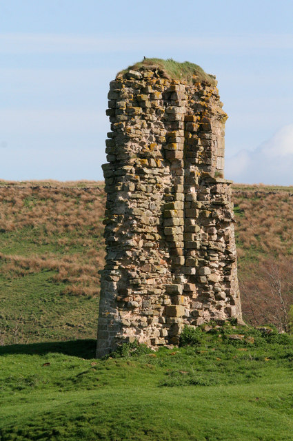
Milecastle 49
Milecastle
Archaeological site

Birdoswald Roman Fort was known as Banna ("peak, horn" in Celtic) in Roman times, reflecting the geography of the site on a triangular spur of land bounded by cliffs to the south and east commanding a broad meander of the River Irthing in Cumbria below. It lies towards the western end of Hadrian's Wall and is one of the best preserved of the 16 forts along the wall. It is also attached to the longest surviving stretch of Hadrian's Wall. Cumbria County Council were responsible for the management of Birdoswald fort from 1984 until the end of 2004, when English Heritage assumed responsibility.
This western part of Hadrian's Wall was originally built using turf starting from 122 AD. The stone fort was built some time after the wall, in the usual playing card shape, with gates to the east, west and south. It was 7.5 miles (12.1 km) east from Camboglanna (Castlesteads) fort and 6.5 miles (10.5 km) from Aesica (Great Chesters). The fort was occupied by Cohors I Aelia Dacorum and by other Roman auxiliaries from approximately 126 AD to 400 AD. The two-mile sector of Hadrian's Wall either side of Birdoswald is also of major interest. It is currently the only known sector of Hadrian...
Closest places in our United Kingdom guide.
More places to explore in United Kingdom.