United Kingdom
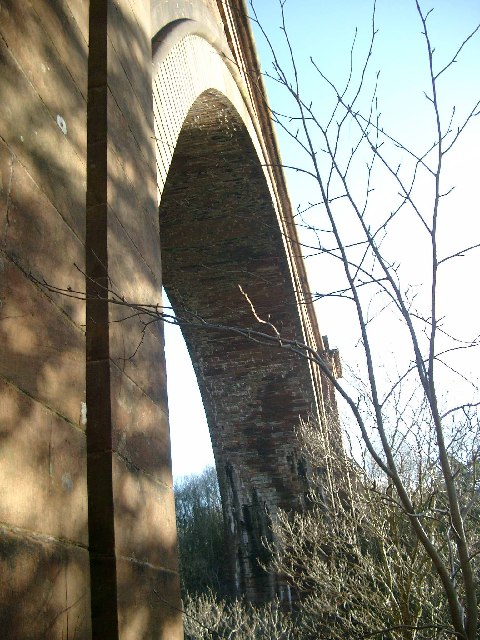
Glaisnock Viaduct
Railway viaduct · East Ayrshire
Tower house

The ruins of the large courtyard style Kyle Castle, once also known as Cavil Castle or occasionally Dalblair Castle lie close to the hamlet of Dalblair in Auchinleck parish near Muirkirk in the East Ayrshire council area, Scotland. The castle stands at the confluence of the Guelt Water and the Glenmuir Water on a peninsula carved out by these rivers. Its name suggests that it was once of some significance.

A drawing of the castle when still intact was apparently kept at “the church at Coylton." The sketch is said to have depicted a four-storied Scottish Tower House with four rooms connected by a staircase. Significantly the castle or fortalice stands at the boundary of the old lands of Kyle Regis and Kyle Stewart, marked by the confluence of the two rivers that join to form the Glenmuir Water. Nearby on the lands of Kyle Stewart stands the large Dornal Motte, a fortification that is recorded as 'Danhell' on Timothy Pont's 16th century map.


Closest places in our United Kingdom guide.
More places to explore in United Kingdom.